Maps and Online Map Resources
- Sheridan Libraries
- Guides
- Maps and Online Map Resources
- Distinctive maps we have
Baltimore City Maps, Atlases, Aerial Photography
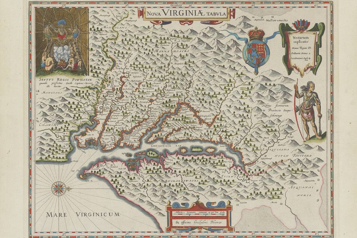
The Sheridan Libraries are a leader in collecting and providing access to an extensive array of historical maps, atlases and aerial photography covering Baltimore City. More than 1000 scanned maps images from the collection are easily accessible and available for download via our JScholarhip Maps and Atlases digital archive.
Viewing the Baltimore digital map collection can feel like traveling through time. Among the treasures you'll find a 1910 pictographic Trolley Map of Baltimore (take the Boulevard Line No. 2900 past the "J.H.U. Athletic Ground"); a Bird's Eye View of the Baltimore Water Supply; the 1914 Atlas of the City of Baltimore (Sheet 4_1N-1W.jpg) showing future development of the Johns Hopkins Homewood Campus; or the Study for East-West Expressway (Vol.2 A Preliminary.jpg) highlighting proposed freeways around the Baltimore Inner Harbor.


The Hackerman Map Collection
In Spring 2017, the family of alumnus Willard Hackerman presented to the Sheridan libraries his magnificent collection of Maryland and Baltimore maps. Once housed in Mr. Hackerman’s private map gallery, this collection is now available via our institutional repository, JScholarship, at this link. For questions about the collection contact Jim Gillispie, Social Science Librarian for Maps at jeg@jhu.edu
The John and Linda Greene Map Collection
In Spring 2021, we received an additional world-class gift of about 2000 maps, courtesy of John and Linda Greene. Learn more about the collection by viewing the ArcGIS StoryMap linked below. (To view it at full size, follow this link.)